Up Ron & Marjolijn's holiday pictures » 2007-09 Nepal-Tibet » 12-China-Nepal border Prev Next Slideshow

 Previous image  Next image  Index page  Original Image [11-Bungee jump.jpg - 1.3MB]
 
 
01-On the highway to Nepal
02-On the highway to Nepal
03-On the highway to Nepal
04-Along a raging river we descend to Nyalam
05-On the road to, sheep on the way to Nepal for some Hindu festival
06-Kodari
07-Bridge as borderpost between China and Nepal
08-Kodari
09-Sheep on the way to Nepal to be slaughtered for the festival
10-At the bungee jump
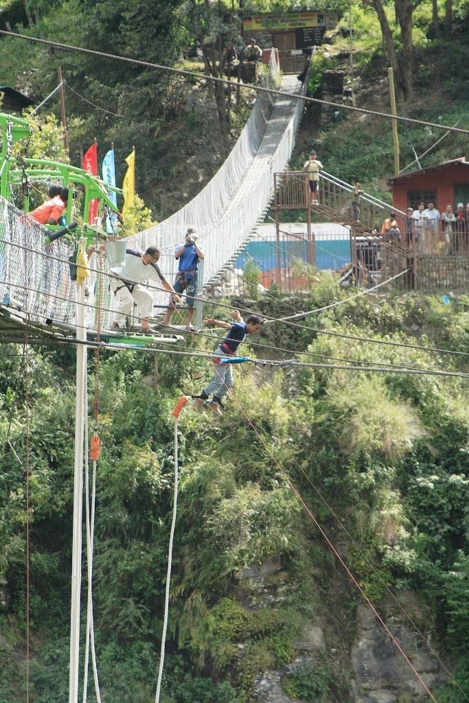
  11-Bungee jump.jpg - Bungee jump  
12-The Araniko Highway
13-Towards Kathmandu
14-We sit like them on the bus roof
15-Along the road to Kathmandu


Bungee jump Download Original Image
Latitude: N 27°52'36,38" | Longitude: E 85°53'32,84" | Location: Panlang | State/Province: Madhyamanchal | Country: Nepal | Copyright: Ron Harkink | See map
Total images: 15 | Help